Log in to view details about your AARNet services, including usage reports
Log in to send files of any size, quickly and securely
Browse answers to frequently asked questions about our products and services
Check the current performance status for our services
Fast local access to popular international open-source content
Check to see if a web address is on-net
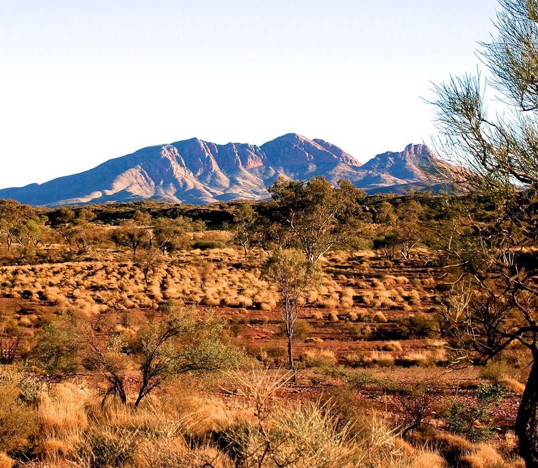
James Cook University researchers mapped the entire Australian continent to find the areas that will best support wildlife 70 years from now and have made their data freely available for anyone to use.
Australia’s world-class research infrastructure, comprising AARNet’s very high speed network, huge data repositories, high performance computing and advanced software tools, is enabling researchers to share large volumes of data and break new ground for monitoring the effects and managing the future impacts of climate change.
A James Cook University (JCU) team from the Centre for Tropical Biodiversity and Climate Change has mapped the entire Australian continent to find the areas that will best support wildlife 70 years from now. Profs Stephen Williams, Jeremy VanDerWal and Dr. April Reside led the project, which was funded by the National Climate Change Adaptation Research Facility. The research data, initially published as a report under the National Climate Change Adaptation Research Facility in 2013, is increasingly being re-used by others.
JCU’s eResearch Centre worked with Assoc Prof VanDerWal to ensure the data was made freely available for anyone to use. This meant sharing more than 20 terabytes of information stored on the Research Data JCU data management platform.
He said sharing such large amounts of data was only made possible through the AARNet Network and the support and infrastructure provided by the Research Data Storage Infrastructure (RDSI) nodes in Townsville and Brisbane as well as the Queensland Cyberinfrastructure Foundation (QCIF).
Associate Professor VanDerWal, said JCU researchers considered four greenhouse gas emission scenarios and eighteen global climate change models across eight decades to estimate the future vulnerability of more than 1700 species.
The analyses were designed to identify those areas that were likely to be more climatically stable with fewest animals lost.
It revealed that while much of Australia would suffer dramatic species losses in the future, large parts of the western slopes of the Great Dividing Range would fare well. These areas would be less affected by climate change and would retain a greater potential to support significant wildlife populations.
Other areas would not fare as well, with large parts of the outback being subjected to increasing impacts.
Assoc Prof VanDerWal said the map was produced with an eye to finding areas where wildlife refuges would be most effective.
“It’s the ‘no regrets’ scenario for refuges,” he said. “These areas would likely still support wildlife populations regardless of how much the climate changes under these worst-case scenarios.”
Dr Reside said the research highlighted the important areas that are not yet covered by the current reserve system, and are priorities for inclusion.
The Department of Environment and Heritage Protection has used this open data in considering future extensions to wildlife reserves. The department produced a Queensland ‘heat map’ that shows the environmental viability of all blocks of land larger than 50 hectares in 2085, under the worst-case IPCC greenhouse gas emission scenario.
Assoc Prof VanDerWal said the next stage of the process involves acquiring the land that’s the most efficient and effective in improving the future resilience of existing and new state parks, or involving land owners in the Nature Assist Program that helps them to conserve the species on their land.
Assoc Prof VanDerWal said the level of the Queensland State Government’s interest and direct involvement in the work was very satisfying for the research team.
“This is one of the few cases where research is feeding directly into management decisions.”
Professor Williams said the team was very pleased that their long-term research at JCU, facilitated by NCCARF, had been so effectively used by the Queensland Government to help inform their environmental management decisions.
“It is great to think that our work has helped improve the resilience of Queensland’s natural environment and reduced the future impacts of global climate change.”